Criteria
In accordance with the Fair Maps Act (AB 849), supervisorial district boundary and county population criteria include the following in order of priority:

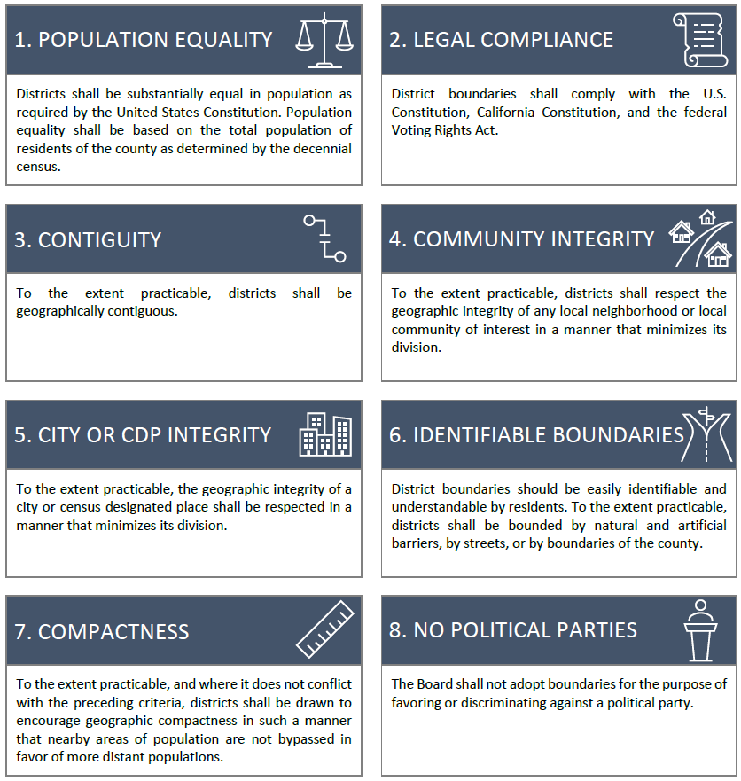
- Population equality shall be based on the total population of residents of the county as determined by the decennial census. State prisoners, whose last known place of residence was in Tulare County as determined by the California Department of Corrections and Rehabilitation, shall be added to the Tulare County population.
- Supervisorial district boundaries shall comply with the U.S. Constitution, California Constitution, and the federal Voting Rights Act.
- To the extent practicable, Districts shall be geographically contiguous.
- To the extent practicable, Districts shall respect the geographic integrity of any local neighborhood or local community of interest in a manner that minimizes its division.
- To the extent practicable, Districts shall respect the geographic integrity of a city or census designated place in a manner that minimizes its division
- District boundaries should be easily identifiable and understandable by residents. To the extent practicable, Districts shall be bounded by natural and artificial barriers, by streets, or by boundaries of the county.
- To the extent practicable, and where it does not conflict with the preceding criteria, Districts shall be drawn to encourage geographic compactness in such a manner that nearby areas of population are not bypassed in favor of more distant populations.
- The board shall not adopt boundaries for the purpose of favoring or discriminating against a political party.