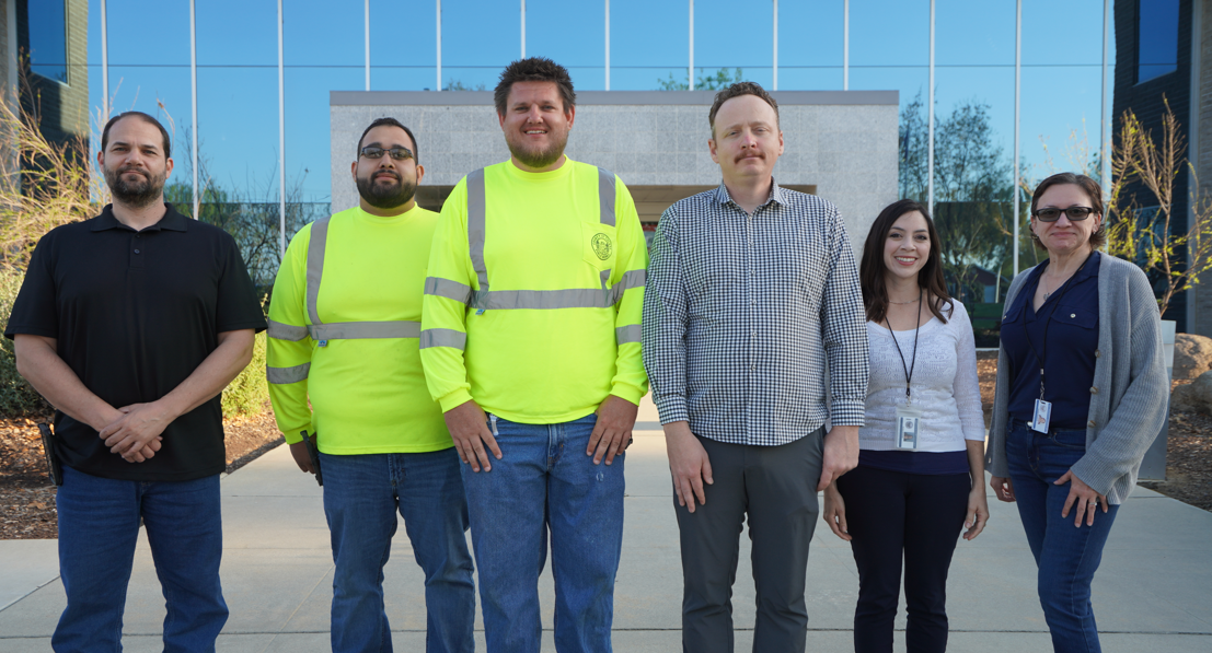
About MG4 – County Surveyor's Office
 The Tulare County Resource Management Agency (RMA) – Public Works Division plays a critical role in maintaining and improving the county’s infrastructure. Within Public Works, operations are divided among several specialized groups. One of these is Management Group 4 – County Surveyor’s Office (MG4).
Led by County Surveyor Rob Abrahamian, P.L.S., P.E., MG4 was organized as a land surveying-focused team but has expanded into a multidisciplinary team that serves not only RMA but other County departments as well. While land surveying remains at its core, the group plays an increasingly important role in engineering review and development support, ensuring that land use proposals meet County standards, legal requirements, and sound engineering practices.
MG4’s responsibilities fall into three key service areas:
- Information Services – Responding to inquiries related to land boundaries, development processes, and maintaining the County’s survey and land record archives.
- Technical and Engineering Review – Reviewing parcel and tract maps, legal descriptions, and land development submittals for accuracy, regulatory compliance, and conformance with professional standards.
- Project and Program Support – Assisting with monument preservation, boundary resolution, field data collection, GIS development, and survey support for capital improvement and maintenance projects.
From the first redline on a tentative map to placing the final monument in the field, MG4 works to ensure that all land development in Tulare County is grounded in accuracy, legal defensibility, and public trust. The group is structured into four specialized teams, each contributing to a shared mission: to provide dependable land data and expert surveying services that support County operations and the communities they serve.
Meet the MG4 Teams
Development Services
Vanessa Sandoval, Engineer II, leads the Development Services team in managing the engineering aspects of subdivision maps, parcel splits, and other land use entitlements. Because many of the team’s responsibilities require oversight by a licensed engineer, Vanessa works closely with the Public Works MG2 (Capital Projects), and Rob Abrahamian, P.E., to ensure that all work is completed under appropriate responsible charge.
The team serves as a key liaison between developers and the County, working in partnership with the Planning Division to review project proposals, establish assessment districts, and guide developments through the map approval process. Development Services also evaluates flood zone impacts and ensures that projects comply with FEMA requirements and local floodplain management standards. Whether overseeing a minor lot line adjustment or a large residential subdivision, the team ensures each land use proposal meets engineering, legal, and regulatory standards—laying a sound foundation before construction begins.
Field Operations
Led by Paul Sutphin, P.L.S., and supported by Eric Niessink, L.S.I.T., and Jose Delgado, the Field Operations team delivers essential on-the-ground survey support to County projects. Their work provides the foundation for engineering design and ensures that every project starts with accurate spatial data.
Working closely with MG2 (Capital Projects), the Field Operations crew conducts detailed f ield surveys to document existing conditions—including topography, boundary lines, and site improvements. Using this data, they produce base maps that serve as the starting point for engineering models and design plans.
Beyond data collection, the team supports property acquisition by preparing legal descriptions and staking right-of-way and parcel boundaries. They also verify construction layout in the field to ensure that improvements are built in the correct location. As part of construction support, they assist with preserving and resetting survey monuments that may be disturbed during work in the public right-of-way. Additionally, the team supports MG1 (Roads & Maintenance) by staking County right-ofway limits to help enforce encroachment regulations and ensure the safe and lawful use of public roads. From pre-design through post-construction, Field Operations plays a critical role in translating plans into reality.
Office Operations
The Office Operations team—comprised of Paul Sutphin, P.L.S., Donn Dwyer, P.L.S., and Abraham Folk—provides vital technical and professional support for the County Surveyor’s responsibilities. Their work helps ensure the accuracy of land records and supports informed decision-making by County staff and the public.
Under the authority of the County Surveyor’s Office, the team performs statutory reviews of Corner Records and Records of Survey as defined by the Professional Land Surveyors’ Act. State law limits these reviews to confirming compliance with formatting and content requirements. While suggestions may be offered, this review does not require the County to agree with a surveyor’s boundary opinions or conclusions.
Beyond these statutory duties, the team conducts technical reviews for a wide range of land use entitlements and development-related documents, including tract maps, parcel maps, lot line adjustments, certificates of compliance, mergers, and road vacations. These reviews help ensure that submittals conform to state law, local ordinances, and established surveying practices. Office Operations also manages the County’s official mileage records for road maintenance, responds to public records and research requests, and assists in resolving boundary-related inquiries from other departments and the public. As the County’s central resource for survey data and research, the team plays a key role in maintaining accuracy, transparency, and continuity across Tulare County’s land information systems.
Geographic Information System (GIS)
Andrea Miranda leads the development of RMA’s in-house Geographic Information System (GIS), a growing resource designed to support informed decision-making, improve operational efficiency, and expand access to accurate spatial data across all RMA divisions.
With a focus on accuracy and long-term data integrity, the GIS program is being built to streamline workflows, reduce duplication, and enhance coordination between engineering, planning, permitting, and public works operations. It also plays a key role in visualizing survey records, aligning datasets with existing infrastructure, and improving the County’s ability to manage its land and asset inventory.
As the GIS platform continues to grow, it will serve as a centralized hub for geospatial information—enabling applications such as development tracking, infrastructure mapping, and support for research and planning efforts. Whether assisting in site analysis or integrating data across departments, the system is laying the groundwork for a more connected, data-informed future in Tulare County.
Our Commitment
MG4 plays a quiet but essential role in supporting Tulare County’s development, infrastructure, and land management efforts. Whether reviewing a subdivision map, collecting field data, or maintaining land records, the team focuses on accuracy, consistency, and service to both County departments and the public. Through collaboration, technical expertise, and attention to detail, MG4 helps ensure that projects are built on reliable information and sound practices, now and into the future.