

The Tulare County Flood Control District (District) is an independent Special District with powers established under “Tulare County Flood District Act.” 1969 Cal. Stat. 2218; Cal. Water Code App. 111-1 esq. The County Board of Supervisors acts as the governing board of the District and appoints a seven-member Commission to provide operational oversight of the District. The Resource Management Agency (RMA) is responsible for the operations and management of the District.
Duties of the District include, Planning, designing, constructing and maintaining flood control projects within the District; Coordinating with Federal and State flood control agencies; Maintaining channels, pumps, and ponding basins; Administering the FEMA National Flood Insurance Program in Tulare County; and Providing flood zone information and performing flood control investigations.
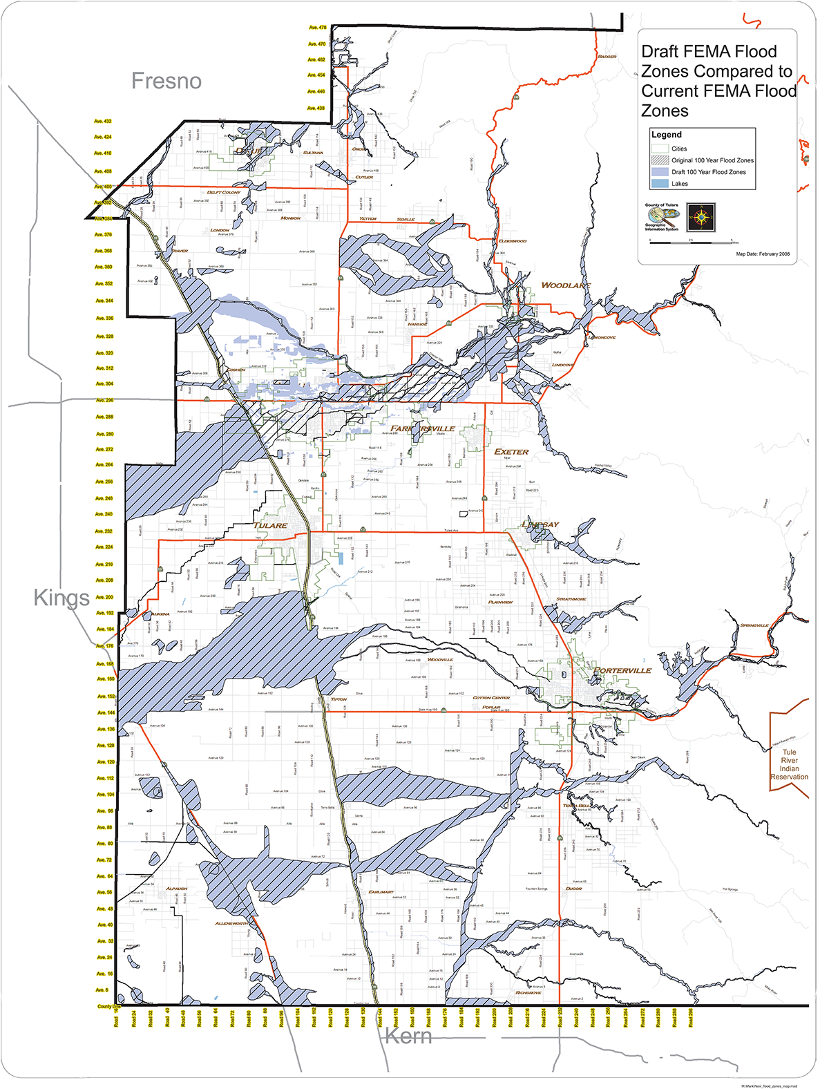
To find out if you are located in a floodplain, contact the Tulare County Resource Management Agency at (559) 624-7000 or visit us at 5961 S. Mooney Blvd., Visalia, CA 93277.
If you need technical assistance or a confirmation letter, please contact the Tulare County Resource Management Agency at (559) 624-7000.
Submit a Flood Control Project Request.
View agendas and minutes of Tulare County Flood Commission meetings.
| Flood Control District | Floodplain Management | Emergency Response |
User Friendly Directions to access FEMA maps. Enter the address of the area in question as directed on the website. These maps are called “FIRM’s” by FEMA. Click on “view map” and then use the pan and zoom tools to navigate to the specific area of interest. Using the available tools users can make a “Firmette”, which is a reduced sized map for printing.
Amendments and other information is available on the main map page. An interactive mapping tool (GIS) is available via the main map page.
The information on the FEMA website is prepared and provided by FEMA and Tulare County does not authenticate accuracy of the maps provided.